Category Archives: Updated Maps

From 2020 to 2023, the RDKB has been working on updating some of our regional floodplain maps in the Boundary region. This work has included the mapping of fluvial geohazards. Links to the maps, associated reports and inundation (flood events) can downloaded from links on this page. If you have any questions, please contact [email protected] or the Planning Department: email: [email protected] and phone: (250)368-0241.

Updated Floodplain Maps

The RDKB is in the process of updating the floodplain maps. This project is grant funded; as of April 2023 four areas have been updated. Inundation maps (mapping of various flood levels including modelled climate change impacts) has also been mapped and provided in a following post for your information.

As part of this project, the RDKB had a ArcGIS StoryMap produced talking about Flood and Flood Risk in the Boundary Region. Click on the StoryMap Link

The RDKB Floodplain Bylaw will continue to use the old maps until a new Floodplain Bylaw has been adopted and identifies these new maps. Until then, these maps are for your information only. Information about updated the floodplain bylaw can be found at the RDKB Planning page: Floodplain-Bylaw-Update. The reports associated with each map are available for download from the link located above each map. Please go to the page Inundation Maps for additional information on estimated water levels at different return periods.

West Kettle River (Carmi to Beaverdell) download report here

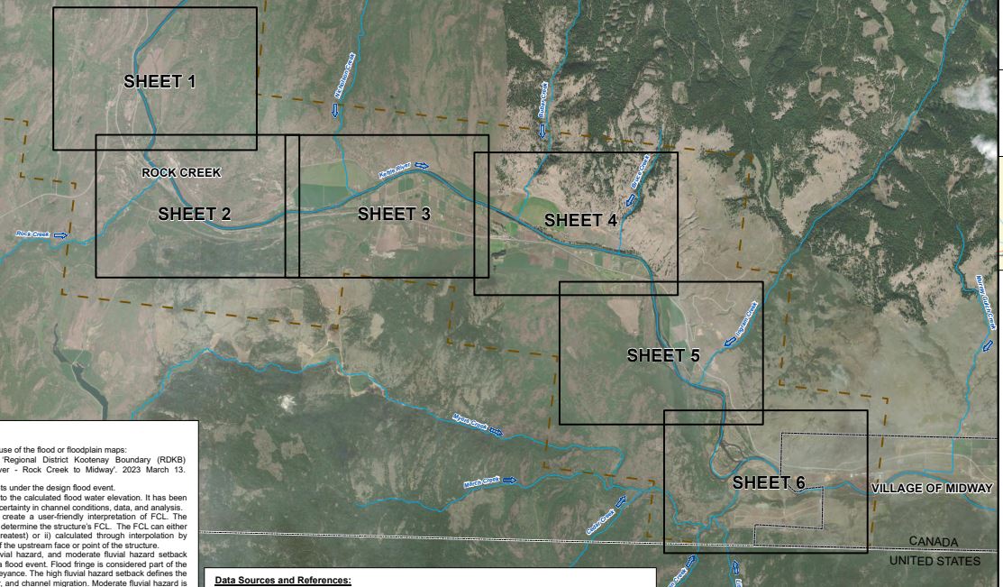
Kettle River (Rock Creek to Midway) download report here

Kettle River (Rural Grand Forks) download report here

Christina Lake, Christina Creek and Kettle River (to US border) download report here

Inundation Maps

Inundation Maps were produced for all areas where floodplain maps were recently updated. Inundation maps show the anticipated water level at different flood return periods with the water volume including the increase we anticipate from impacts tied to climate change. The return periods are: 10 year, 20 year, 50 year, 100 year, 200 year and 500 year. These maps differ from the floodplain maps as the additional 0.6m of freeboard is not shown on these maps. Please direct any questions to the Planning Department ([email protected]) or Watershed Planner ([email protected]).

A download link is provided beside each map. These maps are very large, so many take a long time to download if you are using a slow internet connection. If you are having issues with the download, feel free to contact [email protected] and ask for the information specific to the area you are interested in.

Inundation Events (legend) associated with the maps

Inundation Maps are available for the following areas (the images shown are an example of that area).

  1. West Kettle River (Carmi to Beaverdell): Download link
Click the “download link” above to download the 4 maps associated with this region.

2. Kettle River (Rock Creek to Midway): Download Link

Click the “download link” above to download the 6 maps associated with this region.

3. Kettle River (Carson (US Border) to Cascade Falls): Download Link

Click the “download link” above to download the 7 maps associated with this region.

4. Christina Lake, Christina Creek and Kettle River (to US border): Download Link

Click the “download link” above to download the 8 maps associated with this region.